Port Hardy | Canada
Around 60 miles south of the Hakai Institute, you'll find Port Hardy, but not without crossing over Queen Charlotte Sound. This sound is really dangerous for the average sailor—pick the wrong weather window, and it will be hell. I mean, it's pretty obvious: the whole North Pacific Ocean funnels into a shallow 60nm fjord. We are not the average sailors, as most of you have realized by now.
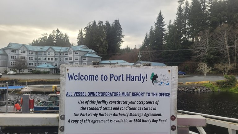
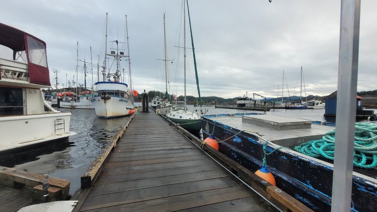 The Dock
We had good enough weather to tuck into a bay—unfortunately, it was full of logs that kept us awake. Still, that's better than crocodiles. As I was rounding Cape Caution (it's called that for a reason), I quickly learned why. The area is really shallow, and the waves that form, even in just 15 knots of SE wind, are no fun. With 30 knots, you'd be flung ashore way quicker than you'd think.
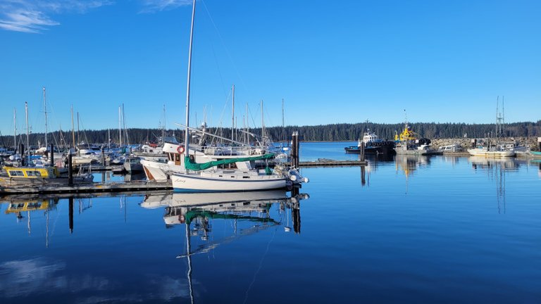 A very odd rig
Once we arrived in Port Hardy, we got some much-needed rest. We were finally on Vancouver Island, which meant we were getting closer to Maple Bay, where our friends live and are waiting for us. After fueling up again, we were ready to continue our journey.
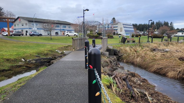 Board Walk
We found Port Hardy quite unimpressive. With around 4,000 inhabitants in the winter, the number of homeless people stood out—it’s something we’d never seen in small Canadian towns before, and it was quite unfortunate. Mind you, these were the locals. Yes, it was New Year’s, but for a small town like this, the situation was still surprising.
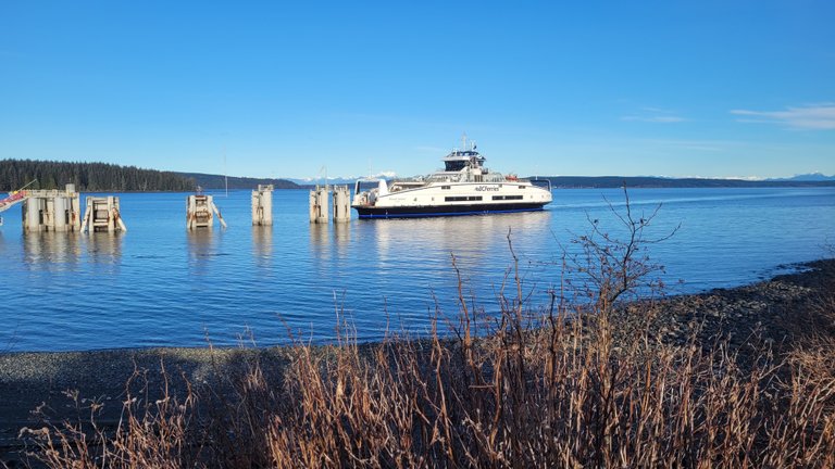 BC ferrries
Nonetheless, the walks were enjoyable, and we managed to get everything we needed from the Supermarkets. I definitely won’t miss Alaskan food—compared to Canada, the food in Alaska is so bad.
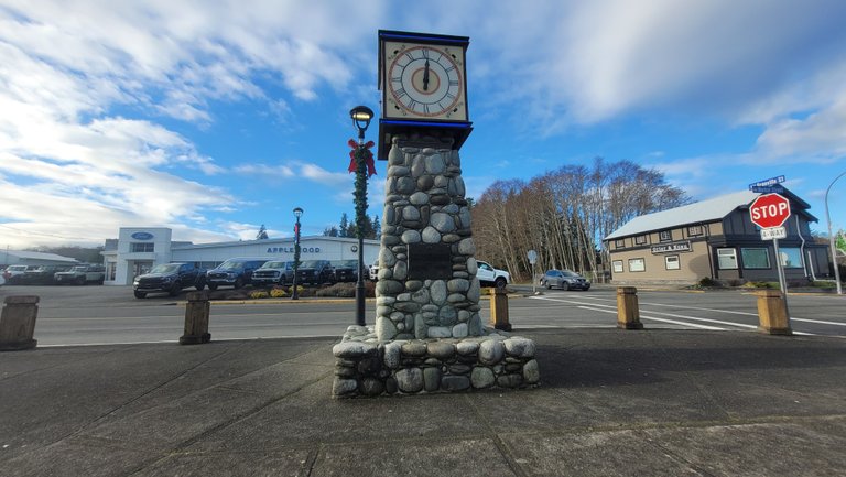 Middle of Town
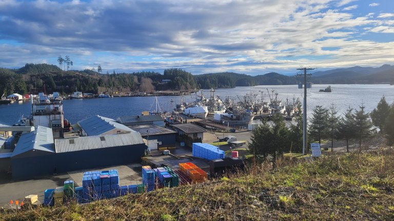
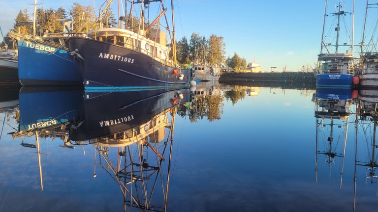
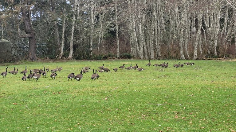
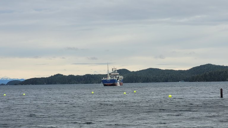 Fish Proccessing Boat
Anyway, I hope you enjoyed this little blog.
Until next time,
Paul

Great job! Keep up the good work! 👏 !STRIDE (Comment !STOPSTRIDE to stop receiving upvotes & STR)
Greetings @glideglobe ,
Thank you for this most informative post....really appreciated hearing of the difficulties sailing about and how you must have your wits about you.
Kind Regards,
Bleujay
I'm glad you enjoyed it.
You can check out this post and your own profile on the map. Be part of the Worldmappin Community and join our Discord Channel to get in touch with other travelers, ask questions or just be updated on our latest features.