Manali-Leh Highway : Where Mountains Paint the Sky
This is the 15th post of the Manali Leh Highway series, in the previous posts of this series you have covered Himalayan Shepherds, Life of Changpa Tribe, Himalayan Rickshaw Run, Lahaul Valley, Maure Plains Tanglang La, Naki La, Leh, Rohtang Pass, Lahaul Valley and Maure Plains Viewed the landscapes of the storm and came to know about this colorful earth. Today in this series we are going to see some beautiful landscapes on Manali Leh Highway, so let's go on the journey.
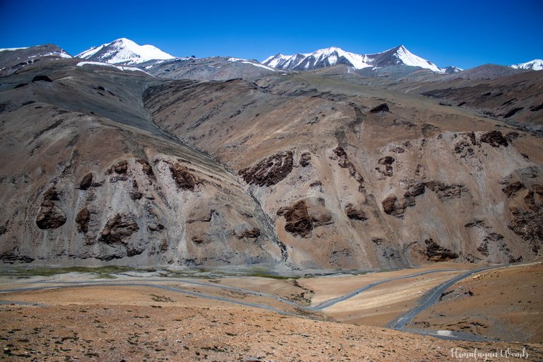
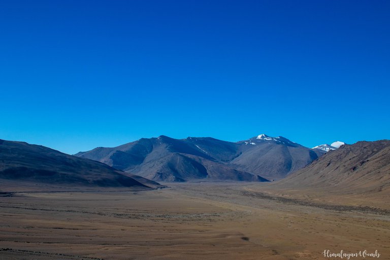
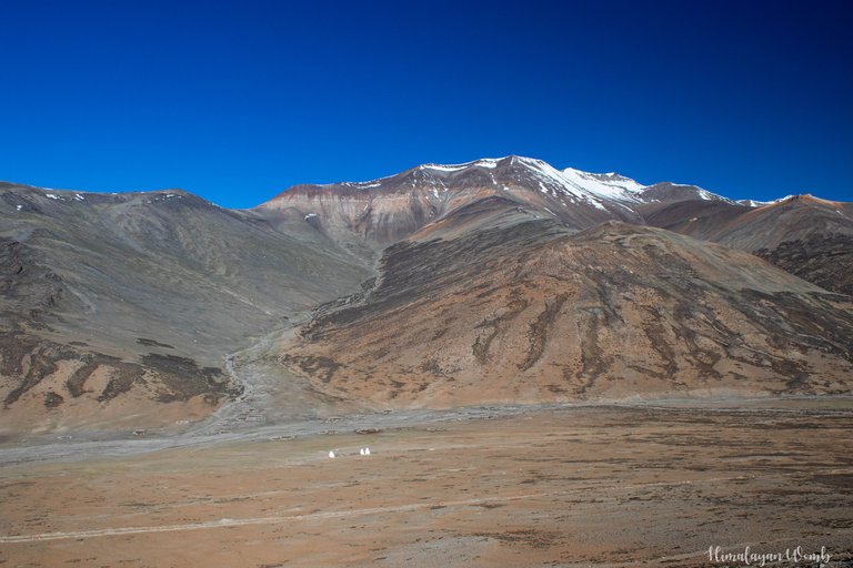
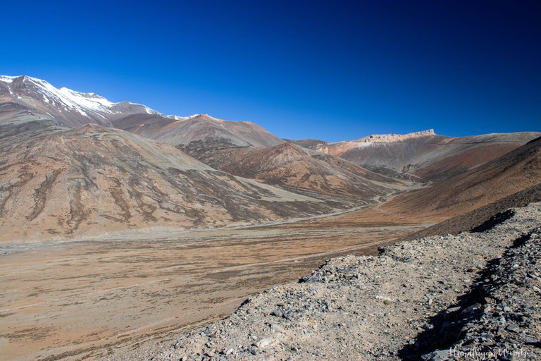
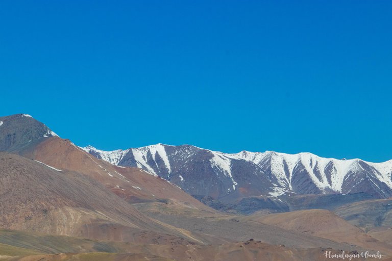
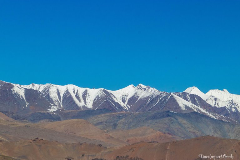
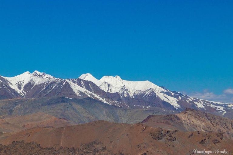
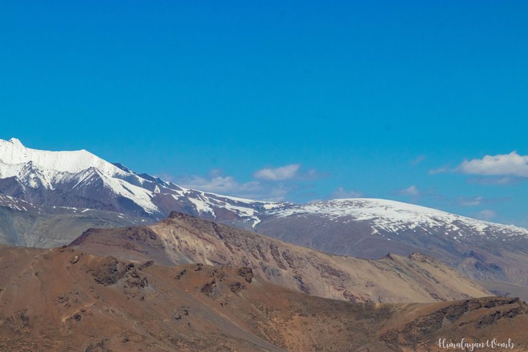
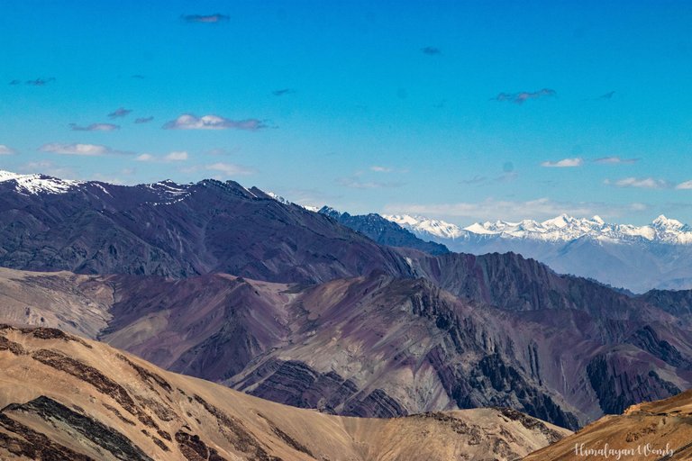
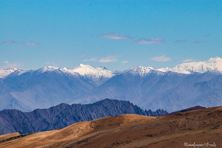
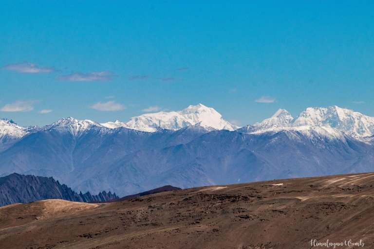
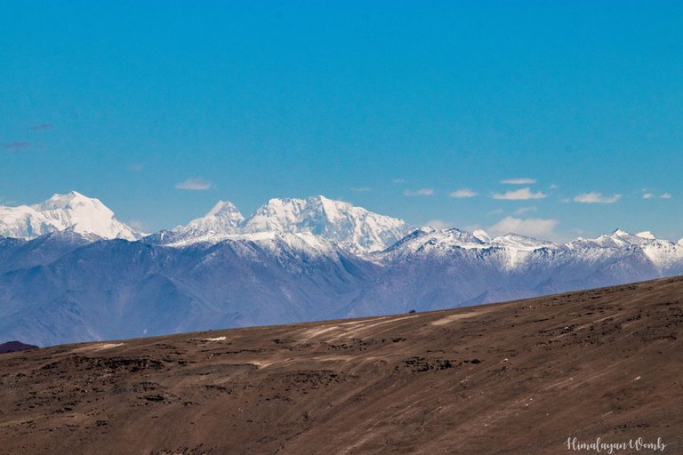
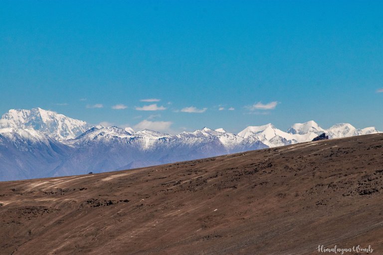
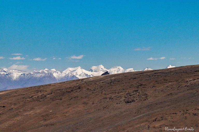
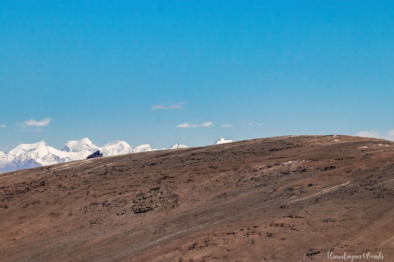
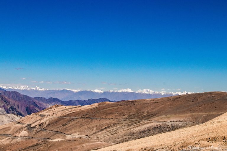
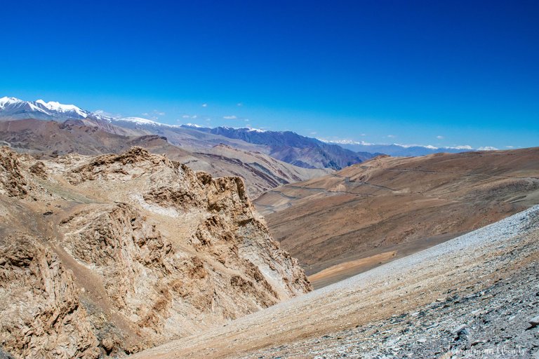
Manali Leh Highway is spread over 460 km and there are so many different types of landscapes on this highway that your 128 GB card will be full but you will not be able to capture all the beauty here in your camera or in your eyes. It would be better to call it a dry wilderness because there is no grass here, no tree here and neither do you find any village here. Every year more than 12 people lose their lives here because this place is about 5000 meters above sea level. Here the dry air, storm and high altitude together make it very difficult for everyone.
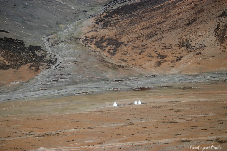
It is believed that the mountains here are rich in minerals, hence the colors of the mountains here are very different and colourful. Lakhs of tourists from India and abroad come to Ladakh every year to see these colours. According to statistics, in the year 2022, about 5 lakh people visited Ladakh. Leave the tourists, I myself have visited this highway 12 times from 2014 to 2023.
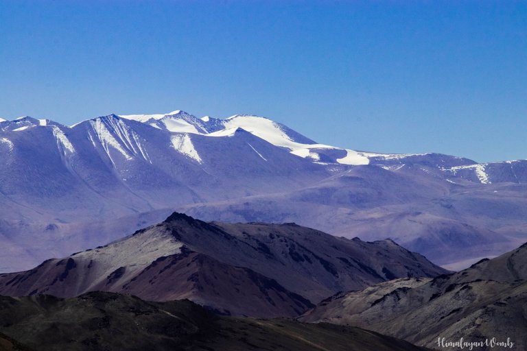
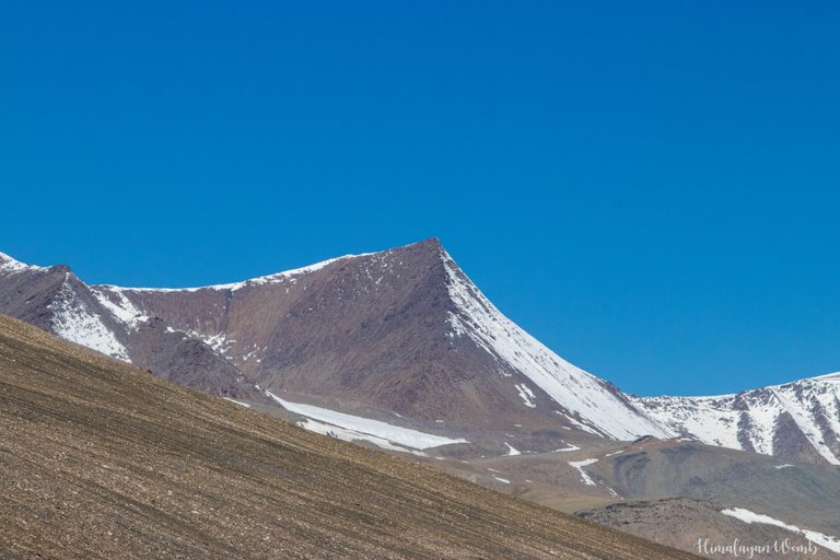
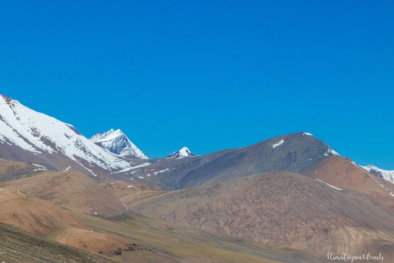
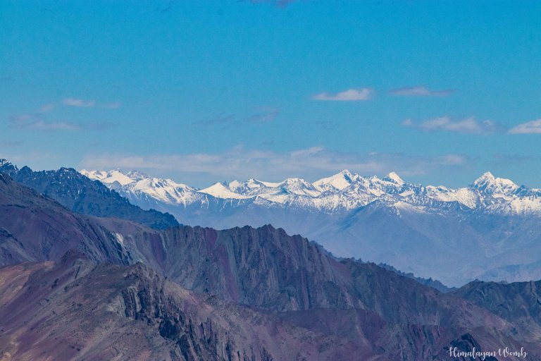
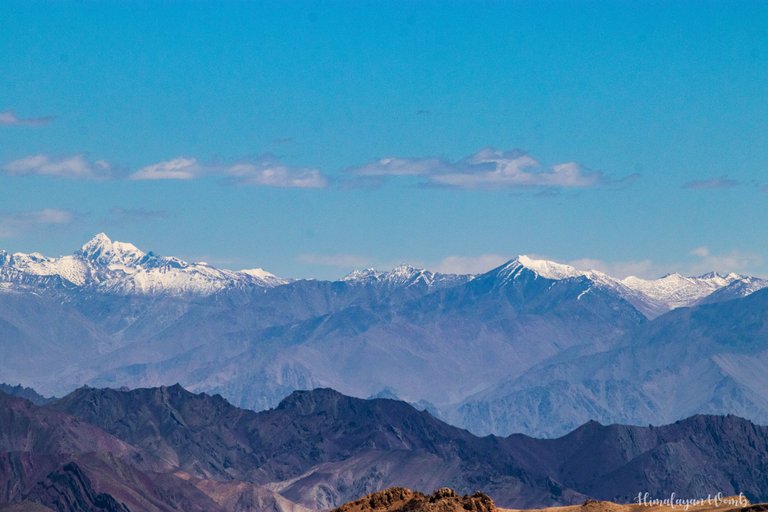
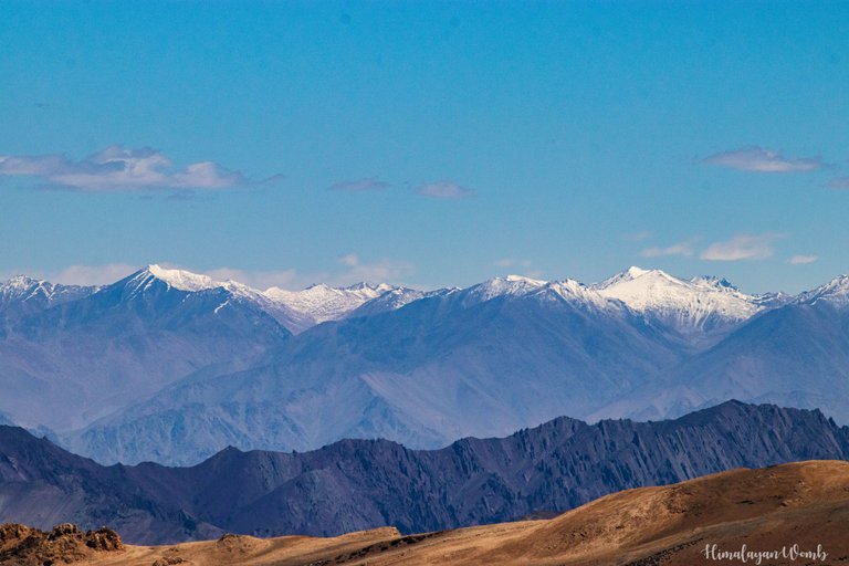
Coming to the landscapes, we can see Saser Kangri (7742 m), the highest peak of Ladakh from Tanglang La, if the weather is clear. And if you stand on the top of Mount Yunam, you can see more than 60 mountain peaks, of which more than half are 6,000-plus peaks. I wish we could have seen this highway in winter, actually in winter this highway gets cut off from the rest of the world for 6 months, there is snowfall of 40 to 60 feet here. Many times I have treated myself to videos taken from helicopters.
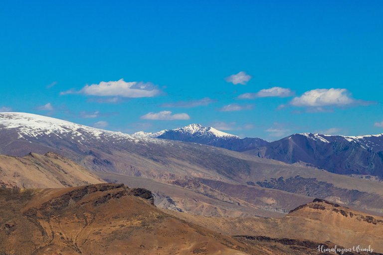
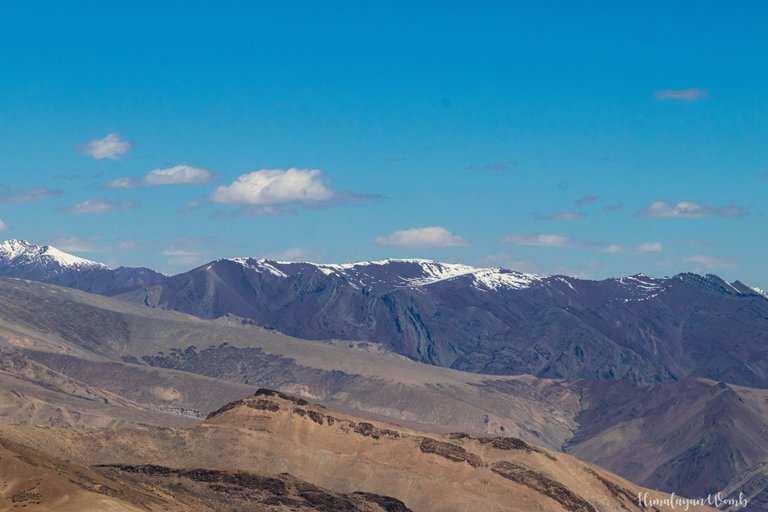
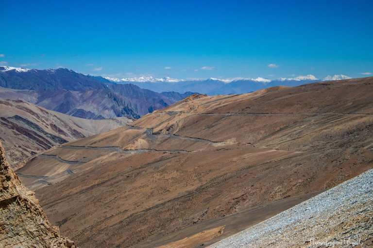
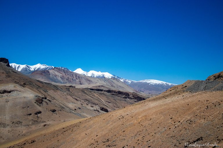
In today's post you will see photos of Gata Loops, Stok Range taken from Tanglang La, Photos taken from Maure Plains and some photos taken from Rumshe. When I went by bicycle in 2014, I fell in love with the mountains here so much that now I come here every year to visit, and even after coming every time I am not satisfied.
I will give another post of Manali Leh Highway landscapes after this post. I hope you liked these landscapes. Have you ever gone to 5000 meters, if yes then share the name of that location in the comments. Thank you and have a nice day.
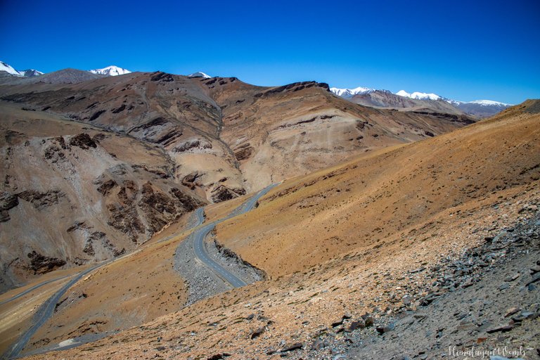
Disclaimer: All photos are clicked by me (himalayanwomb), All photos are clicked with Canon 77d, Photos are edited in Lightroom. This blog has been written in Hindi and translated into English for which the help of Google Translate has been taken. And yes I proudly say this post is AI free.
If you like this series then other posts of this series are as follows;
Post 01: Shepards the Ice Keeper of Indian Mountains
Post 02: Guardians of the Cold Desert - A Glimpse into Nomadic Life
Post 03: People at 4600 Meters
Post 04: The Epic Saga of 2-Stroke Auto Rickshaws
Post 05: Temples, Monasteries, and Breathtaking Landscapes of Lahaul Valley
Post 06: A Magical Place in the Mountains
Post 07: Cycled to Second Highest Motorable Mountain Pass which is 17446 ft high
Post 08: The Haunted History of Naki La's Truck Driver
Post 09: Leh A Land of Monasteries, Peaks, and Lakes
Post 10: Truck Accident Occurred Between 40-Foot High Ice Walls on Rohtang Pass which means 'Pile of Corpses'
Post 11: A nomadic tribe that lives amidst storms
Congratulations, your post has been added to Pinmapple! 🎉🥳🍍
Did you know you have your own profile map?
And every post has their own map too!
Want to have your post on the map too?
This post has been manually curated by @steemflow from Indiaunited community. Join us on our Discord Server.
Do you know that you can earn a passive income by delegating to @indiaunited. We share more than 100 % of the curation rewards with the delegators in the form of IUC tokens. HP delegators and IUC token holders also get upto 20% additional vote weight.
Here are some handy links for delegations: 100HP, 250HP, 500HP, 1000HP.
100% of the rewards from this comment goes to the curator for their manual curation efforts. Please encourage the curator @steemflow by upvoting this comment and support the community by voting the posts made by @indiaunited.
You left me 2 option my friend
Either to remove you from my favorite feed or to manage and pack my hiking equipment again
By the way there is only one area above 5000 in my country which is a semi-extinct volcano and was there few times
Second one (Alamkooh) is 4850 and some 4800 after that. Out of my country my record 's been 3900 so far
Himalaya and Alborz have many similarities. Alborz can be the child of Himalaya 😊 newborn or even smaller but same
I am not going to stop my actions so you will have to pack your bags otherwise I will keep on bomarding. I've never seen a volcano and never heard of a volcano at an altitude of 5000 meters... Your experience will be amazing. I have heard about Alborz...and I can say that reaching such a height is a great achievement.
Wow, what beautiful photographs and the place looks quite interesting too. Thank you for sharing with us a little bit of your trip ☺️
thanks for reading the blog, have a nice day